Vogrie Country Park
Saturday 31st March 2018

Vogrie Burn and Tyne Water - Photo Credit: Jim Barton - geograph.org.uk/p/3705507
Results
Thanks to all competitors and the many ELO helpers today – especially to Michael for his courses which managed to find some tough new control sites and to Tim and Neil for running the SI timing and results. Michael’s invitation (below) promised a ‘fun-filled’ Saturday afternoon – perhaps the bleak weather didn’t quite allow that but most of us certainly enjoyed our runs. It was very gratifying to see so many ELO juniors taking part – with several of them successfully stepping up to tougher courses.
Apologies for the shortage of maps on Light Green – we were pleasantly surprised that so many people ignored the rival attraction of Britain’s biggest orienteering festival taking place only 300 miles away.
Found property: Black quilted jacket by Harry Hall, XL
Join us at Vogrie on Saturday 31st March for a fun-filled Easter Saturday’s orienteering.
Vogrie Country Park is a woodland estate managed by Midlothian Council. The Tyne Water runs through the park in a steep sided valley which can provide a physical challenge. Vogrie also hosts a Saturday parkrun and has a popular playground but its varied terrain and 12 mile path network make this a popular venue for orienteering, particularly for those new to orienteering. For the more experienced there are plenty of ways to navigate between controls both on paths and off them!
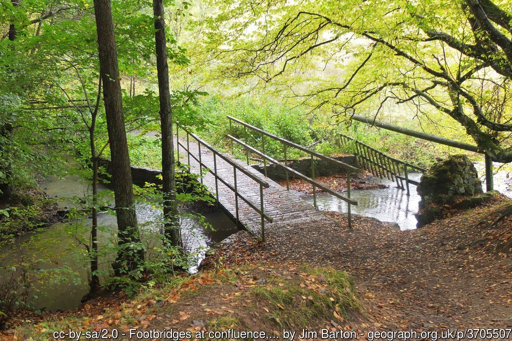
Vogrie Burn and Tyne Water
General Information
Type of event:
Local event in the East of Scotland Orienteering Association (ESOA) series
Type of terrain:
A mixture of parkland and woodland with some muddy sections for Yellow, Orange and Light Green courses.
The Orange and Light Green course could include some wading across a burn, but this may be avoided by using less direct routes over the bridges.
Other Users:
The woods are very well used by the general public including dog walkers and families. Please respect their right to be there at the same time as you are orienteering. Please observe all out of bounds areas, particularly the unfenced.
Dogs:
The area is well used by dog walkers so dogs are welcome.
Toilets:
Toilets are available at the car park, beside the adventure playground and within Vogrie House.
Location
Nearest town: Gorebridge
Grid Ref: NT376632
Postcode: EH23 4NU
Directions:
Vogrie is on the B6372 which runs from the A7 at Gorebridge to the A68 North of Pathhead.
A limited service travels to the Edgehead and Dewarton crossroads, from where the park can be accessed on foot.
There is a £1 parking charge which is paid at the barrier on exit.
From the car park, walk East following the road to Vogrie House and the café (about 0.5 km)
Registration & Start Times
Registration:
This will be from 1:45pm to 3:00pm on the grass beside Vogrie House (look for the ELO flag and tent).
Pre-entry is not available, all entries will be taken on the day.
You can download and complete the registration form and bring it with you.
Please try to register and start early if you think you might take a long time to complete your course.
Start and Finish:
The start and finish will be close to registration near Vogrie House.
Start times will be from 2:00pm to 3:00pm.
Courses Close:
The courses will close at 4:00pm so it is essential that you report to the Finish by then, even if you have not completed your course.
Course Information
Map:
The map is printed at 1:6000 with 5m contours and has seen some minor revisions.
Timing:
SportIdent (SI) electronic timing will be used – we will have SIs for hire free of charge but there is a £30 charge if lost.
Courses:
There will be White, Yellow, Orange and Light Green courses.
Provisional course lengths are approximately as follows…
| Course | Length | Difficulty |
|---|---|---|
| White | 1.8 km | Very easy |
| Yellow | 2.1 km | Easy |
| Orange | 3.1 km | Medium |
| Light Green | 3.5 km | Medium to Hard |
More details about the colour coding is available on the Scottish Orienteering website.
Entry Charges
- Seniors
- British/Scottish Orienteering members – £3
- Non-members – £5
- Juniors
- British/Scottish Orienteering members – £1.50
- Non-members – £2.50
- Groups (Adults + children)
- Each additional adult in a group: add £1
- Each additional Junior in a group: add 50p
Safety and Risk
A comprehensive risk assessment has been carried out by the organiser, but participants take part at their own risk and are responsible for their own safety during the event.
Although the white and yellow courses follow the path network, part of the yellow course is along the path next to the stream and so is much muddier and slippier than the white course.
Medical Conditions:
If you, or anyone in your group (including juniors), have a medical condition that first-aiders or health professionals should know about in the event of accident or illness during the course of the event please print off the Medical Form, complete it fully and bring it along to the event. You should complete a separate copy for each individual who has a medical condition. Please leave the completed Medical Form at Event Registration. If it is not in a labelled sealed envelope, it will be put in one and will be opened only in an emergency. It will be shredded immediately after the event if you do not claim it back.
Privacy
When entering our events your name may appear in the results section of this website or in newspaper reports.